Figueroa Mountain Road Loop
Solvang, CA
There are two good online references for this ride that I have found. They are Mt. Figueroa on Jay's Essential Bike Rides and Figueroa Mountain Loop (east side ascent) on ToughAscent Blog. Below are a few notes form each site. Visiting the site pages is essention for informaiton as there is muchmore there and they include more pictures that I am putting here.
From Jay's Essential Bike Rides which was created on June 9, 2009:
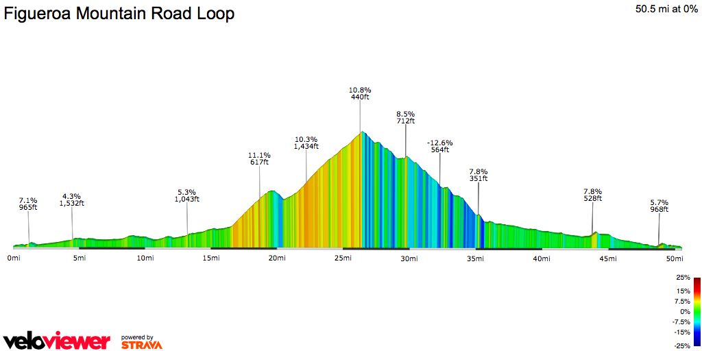
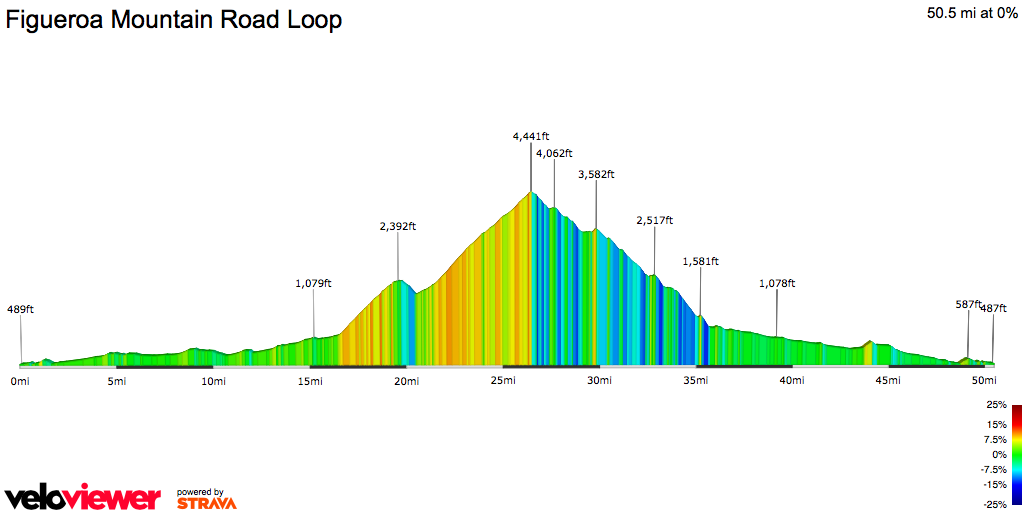
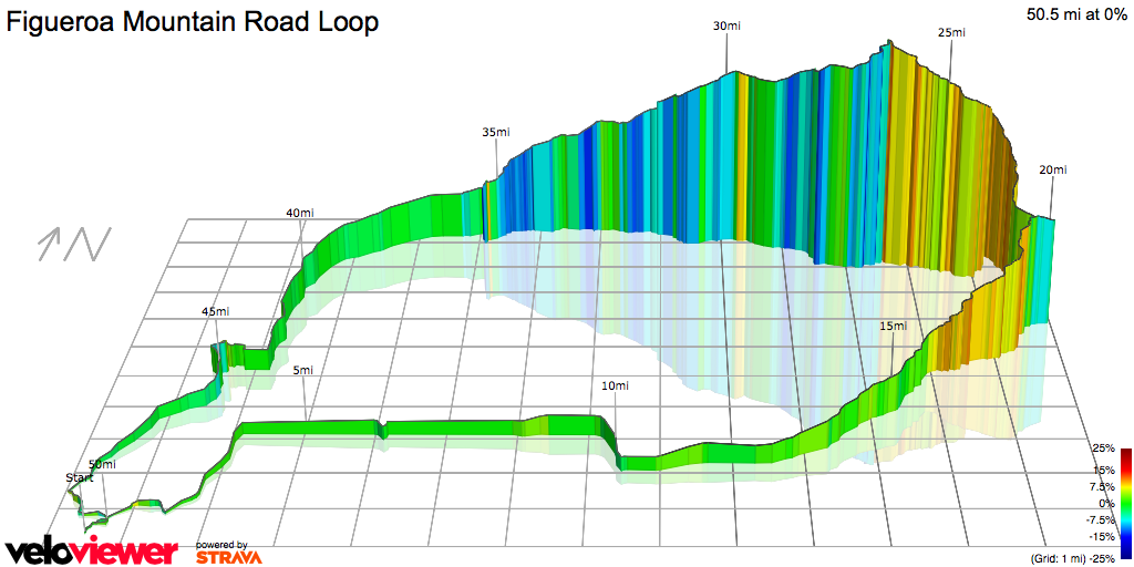
Our Southern California ride list has three rides that are all big, chest-thumping rides up a mighty mountain: Mt. Figueroa, Gibraltar Road, and Glendora Ridge. Of the three, Figueroa is the prettiest, by a long shot. Since there is no reason to drive this road except to gawk at the scenery, and it’s a tough drive, you should be pretty much alone.. It’s nice to have the road to yourself, but you also can’t expect to be rescued, so take everything you might need. Figueroa is a ride through farm country, then a ranching valley, a climb up the mountain, a ride across the ridgetop, a drop down the back side, and a ride through another valley. The climb was made famous as a favorite training ride for the Discovery pro cycling team and a certain Texan, whose name slips my mind, when the team did an annual spring training camp in the Solvang area. It’s a substantial ride—my computer recorded 5080 ft of gain in 40 miles, which is not to be sneezed at, and there’s a lot of 8-10% stuff—but it’s never leg-breaker hard and if you pace yourself it’s very doable. It’s all seriously gorgeous.
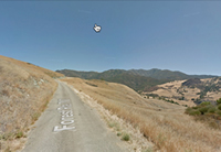
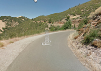
Climb for exactly 10 miles to an obvious summit, all through very pretty country. It’s comforting to keep the mileage total in mind so it doesn’t seem endless. The climb starts steep out of the gate, and keeps it up for about 2 miles. Don’t worry—it’s never worse than this. Don’t get so involved with your heart rate monitor and odometer that you forget to look around—you’ll get much higher, but this leg has some of the prettiest climbing vistas on the ride. Two miles into the 10-mile climb you hit a stretch of dirt road that’s exactly 1 mile long (it’s comforting to know that too), but it’s hard, fairly smooth dirt with firm rocks—no loose gravel—and you don’t need big tires or anything like that. It’s actually a refreshing mental change from the pavement.
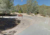
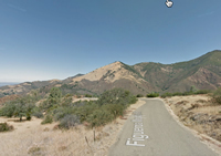
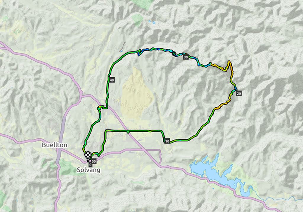
fter the dirt, you get an unexpected and sweet .8-mile descent, then have it easy for a while. But the 8-10% stuff comes back, and you have the hardest part of the ride, a long, tedious, steep pitch up an uninteresting shrubby draw—the only part of the ride that isn’t particularly scenic. As you approach mile 20.5 you’ll see you’re approaching a saddle. At the saddle there’s an intersection. A large sign reads “Sunset Valley Rd.,” with an arrow straight ahead signed “NIRA Campground,” an arrow L signed “Figueroa Mt. Rd.,” and an arrow R signed “Cachuma Mt. Rd.” Go L; you’ll stay on Figueroa Mt. Rd.. You have 3.5 miles still to climb to the summit, and some of it is more 8-10% stuff, but it’s much more pleasant than what you’ve just done, because the pitch varies constantly (so you get a lot of respites), and the scenery is constantly stunning. You’re now riding with a sheer dropoff on your L, and the views of the canyon you just climbed up will take your mind off your labor.
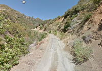
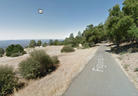
I confess I don’t like the descent. Oh, it has wonderful moments, and the scenery is consistently great, but from about 27 miles to the valley at mile 34, you’re looking at 7 miles that are mostly too steep, too curvy, and too rough to be fun. I did a lot of it at 10-12 mph, squeezing the brakes hard the entire time. When you cross a cute little bridge, you’re suddenly back on the valley floor, and this valley is just a tad less gorgeous than Happy Canyon. Ride along the valley’s edge back to town. Midway through the valley you pass Neverland Ranch (5225 Figueroa Road), Michael Jackson’s old estate/zoo, on your R—it’s just a moderately pretentious, generic gate, but you can tell your friends.
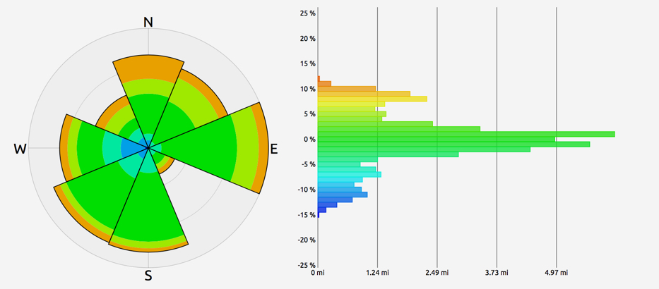
In warm weather, people ride Figueroa as early in the morning as possible, because the top of the mountain is windy—very, very windy—later in the day, and you ride on the spine of some razor-edge saddles where there’s a Venturi effect from one side to the other
From Tough Ascent Blog:
One of the famous Santa Barbara County climbs (though a bit of a drive from Santa Barbara proper!). Training ride for the Discovery Channel Pro Team. Often compared to classic European mountain climbs. 3,000+ feet of strong climbing. With such a reputation, this had been on my must-do list for a while. As my family lives in Santa Barbara (well, Goleta,
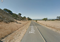
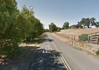
After crossing 154, you meander through the beautiful countryside of the area. Relatively flat for this section, you pass vineyards, farms and horse stables. Tough not to stop every mile or so to take photos!
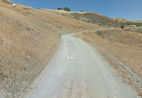
The golden hills surround us. A bit more climbing, and just after passing a shooting ground (gun shots are surprisingly startling when heard in what is otherwise such quiet countryside!), we hit the 9/10s of a mile of unpaved road.
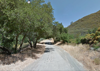
The first short section of the descent is quite forested (quite odd for being so high and having been exposed for the last 2500+ feet of climbing). Nice change of pace though! After a couple of minutes of this wooded section, we break out and are left with a wonderful, rolling ribbon of asphalt